


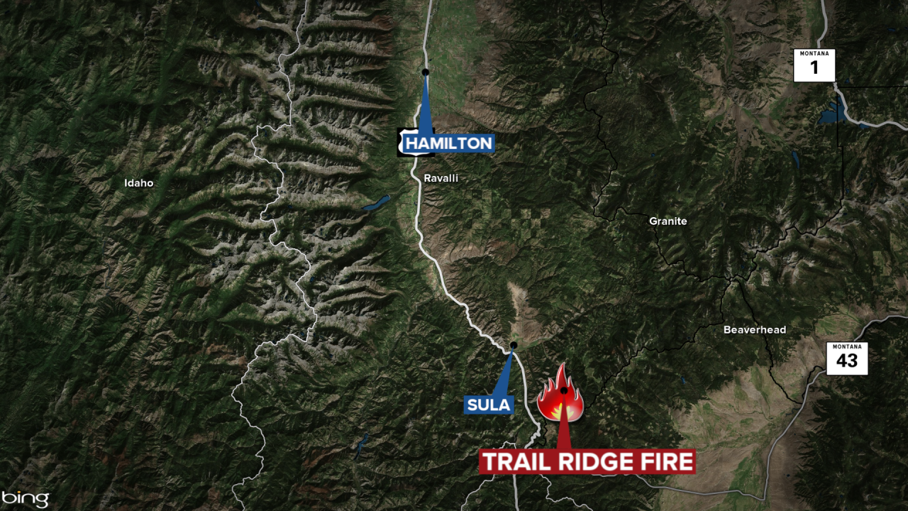
The lightning-sparked Trail Ridge fire has burned nearly 2,900 acres on the border of the Beaverhead-Deerlodge and Bitterroot National forests.
It is burning 4.5 miles north of the Hogan Cabin, near the Continental Divide Trail in the 2000 Mussigbrod Fire burn area.
Smoke from this fire is expected to hang in the Big Hole Valley and Highways 93 and 43 may intermittently have visibility impacts moving forward.
MTN News
Sula, Wisdom, Jackson and Dillon may see smoke and haze from the Trail Ridge Fire as well as from the Moose Fire in Idaho and the Thompson Creek Fire.
There is a Red Flag Warning in effect from 12 p.m. until 10 p.m. on Monday.
Area trail closures are in effect due to the blaze.
