


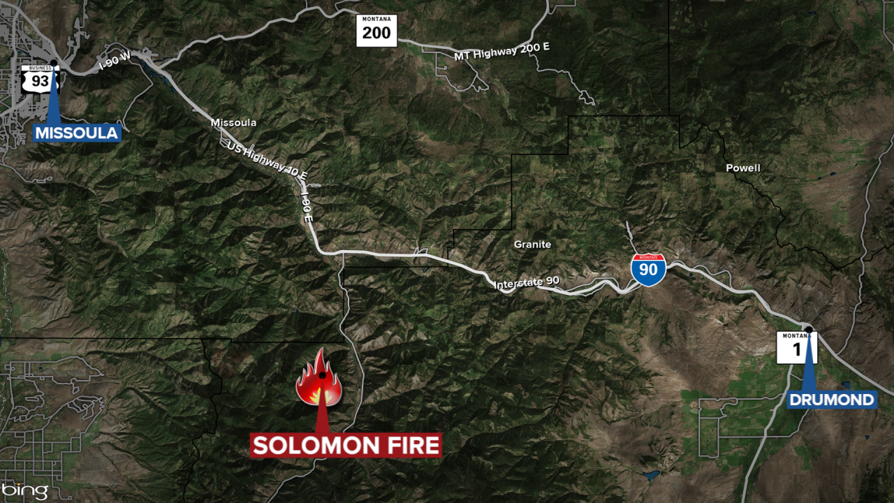
MISSOULA - A wildfire burning east of Missoula in the Rock Creek area has grown to 350 acres.
The lightning-caused Solomon Fire is burning in the Welcome Creek Wilderness approximately six miles south of the Rock Creek exit off Interstate 90.
The blaze — which was first reported on Aug. 24 — is near Solomon Mountain in upper Solomon Creek, two miles southwest of the Spring Creek Trailhead.
The Solomon Fire has grown by approximately 50 acres and is now 350 acres in size over the past several days.
Steady growth and moderate-active fire behavior has been observed primarily on the eastern flank of the fire.
Smoke is visible from Rock Creek Road and the recreation corridor as well as in parts of the Bitterroot Valley.
Emergency trail closures are in place for public safety:
- Solomon Ridge Trail #142, from milepost 0.0 at Solomon Ridge Trailhead to milepost 4.2 at its junction with Trail #232.
- Welcome-Sawmill Saddle Trail #232, from milepost 0.0 at its junction with Trail #142 to milepost 5.4.
- Sawmill Ridge Trail #178, from milepost 0.0 at Sawmill Fishing Access to milepost 6.4 at its junction with Trail #232.
- Welcome Mountain Trailhead
No structures or infrastructure are threatened at this time.
Locations of Fire Information Boards:
- Rock Creek Fisherman’s Mercantile
- The Clinton Market
- Rock Creek Trout Bums
- The Dalles Campground
- Welcome Creek Wilderness Trailhead
