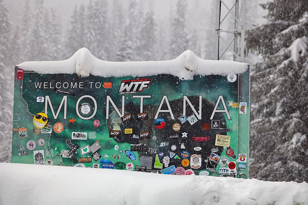
MISSOULA — The snow on the roof of the Lolo Pass Visitor Center stands several feet deep and the state signs on either side of Highway 12 are barely visible above the drifts.
One welcomes visitors to Montana, the other to Idaho. It’s here where the Lolo National Forest gives way to the Nez Perce-Clearwater National Forest, though the winter snowpack doesn’t distinguish between the two.
“We’re basically slightly below average for snowpack but basically at average for precipitation,” said Adam Muscarella, a snow ranger at the Lolo Pass Visitor Center. “We’re typically deeper than we are right now. We’re sitting at six feet, and seven feet is a low average for us.”
The SNOTEL station across Highway 12 sits at 5,240 feet, but it doesn’t give a current depth. The U.S. Natural Resource Conservation Service places the snow-water equivalent at 91% of average.
“Historically, it’s given strange data, so we don’t trust it,” Muscarella said of the closest SNOTEL site. “We record daily off what we’ve got.”

What they’ve got is a pole placed in the ground that shows a snow depth hovering at around six feet. While it’s been deeper in past years, this year’s snowfall has been heavy and has served to condense what’s on the ground.
“We’ve been getting a ton of precipitation, but not accumulating depth, so it’s compressing at the same rate that it’s coming down,” Muscarella said. “We have a very dense snowpack right now. We’ve also been abnormally warm. We haven’t seen the cold temperatures.”
On this mid-afternoon, temperatures sit at 28 degrees and the winter recreation is in full bloom. Backcountry skiers have taken to the nearby hills, skiing through deep powder on their downward run.
The sledding hills and cross country ski trails around the visitor’s center are in prime condition and today, amid a light snowfall, they’re getting plenty of use.
But the crowds were late to arrive this season, perhaps fooled by the lack of snowfall in Missoula. Up until Sunday night, the region’s largest city has seen only limited snow through most of the winter.
“Normally when we get to that December part of the season, a lot of people start coming up,” said James Sapp, a snow ranger at the Lolo Pass Visitor Center. “At the very beginning of it, they just weren’t coming up because we didn’t have the snow depth that we normally have. But after December, it really started getting regular.”

In past years, the snow depth has stood at 9 or 10 feet, though longtime Lolo Pass employees believe there’s been a slow reduction in depth. This winter has been fickle across the region, though snow depths have risen in recent weeks, approaching close to slightly above average.
That hasn’t been the case in the Missoula Valley, at least until Monday when the National Weather Service reported 2.7 inches of snow at Missoula International Airport.
“We’ve heard reports of over 6 inches in other parts of Missoula,” Trent Smith, a meteorologist in Missoula, said Monday morning. “For the season, we’ve received 30.7 inches of snow since July 1 to today. The average from July 1 to today is 29.9 inches, so were actually right at average or slightly above average.”


