
MISSOULA — After starting the day with lightning strikes across parts of western Montana in the early morning hours, most of the area has seen a mostly sunny and very warm to hot afternoon. Highs are topping out in the upper 80s to mid-90s for most.
We could see a few late-day and evening thunderstorms develop across the region, especially in Northwest Montana and along the divide. Any storms that do pop up should exit the region once the sun sets.
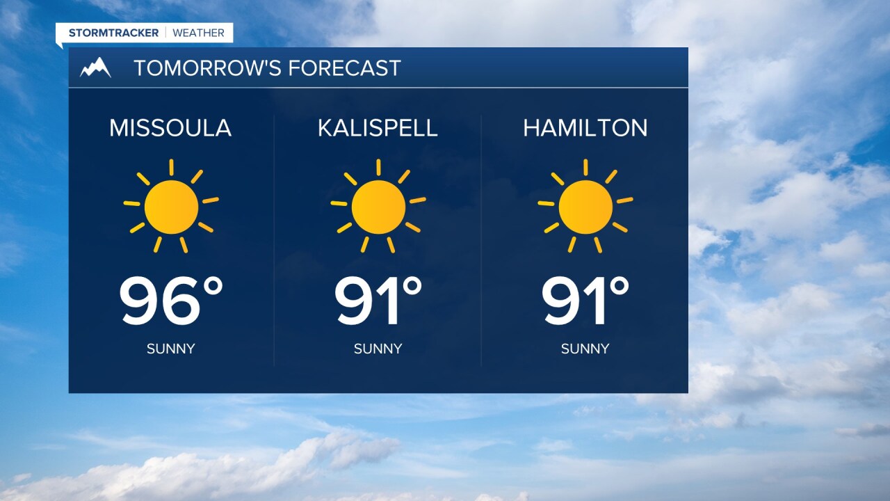
As for the forecast for the rest of the week, we’re expecting plenty of sunshine on Wednesday, Thursday, and Friday. As you might expect, smoke will also be part of the scenario as we continue to see winds drive smoke in from fires across the Northwest.
Overnight lows for the next three mornings will drop generally into the middle to upper 50s with afternoon highs warming into the lower to middle 90s on Wednesday and Thursday and upper 80s to lower 90s on Friday.
Heading into the weekend, we will see sunny conditions on Saturday with highs in the upper 80s to mid-90s. Beginning Sunday, and heading into at least the middle of the following week we’re going to see the upper-level ridge establish itself over the region once again and strengthen over western Montana.
That will drive up the temperatures back to the mid to upper 90s with some spots seeing triple digits for highs early next week.
As it looks now, the extended forecast continues to call for warmer than normal and drier than normal conditions that look to persist through the last week of July.
