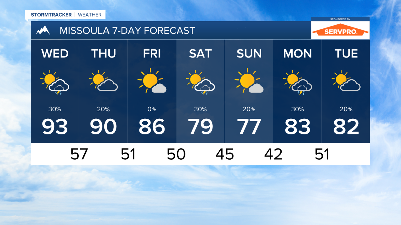


MISSOULA — Thunderstorms are in the forecast again tomorrow afternoon as a wave of monsoonal moisture comes through western Montana. Expect scattered activity across the area with storms producing brief periods of rain along with lightning and gusty winds.
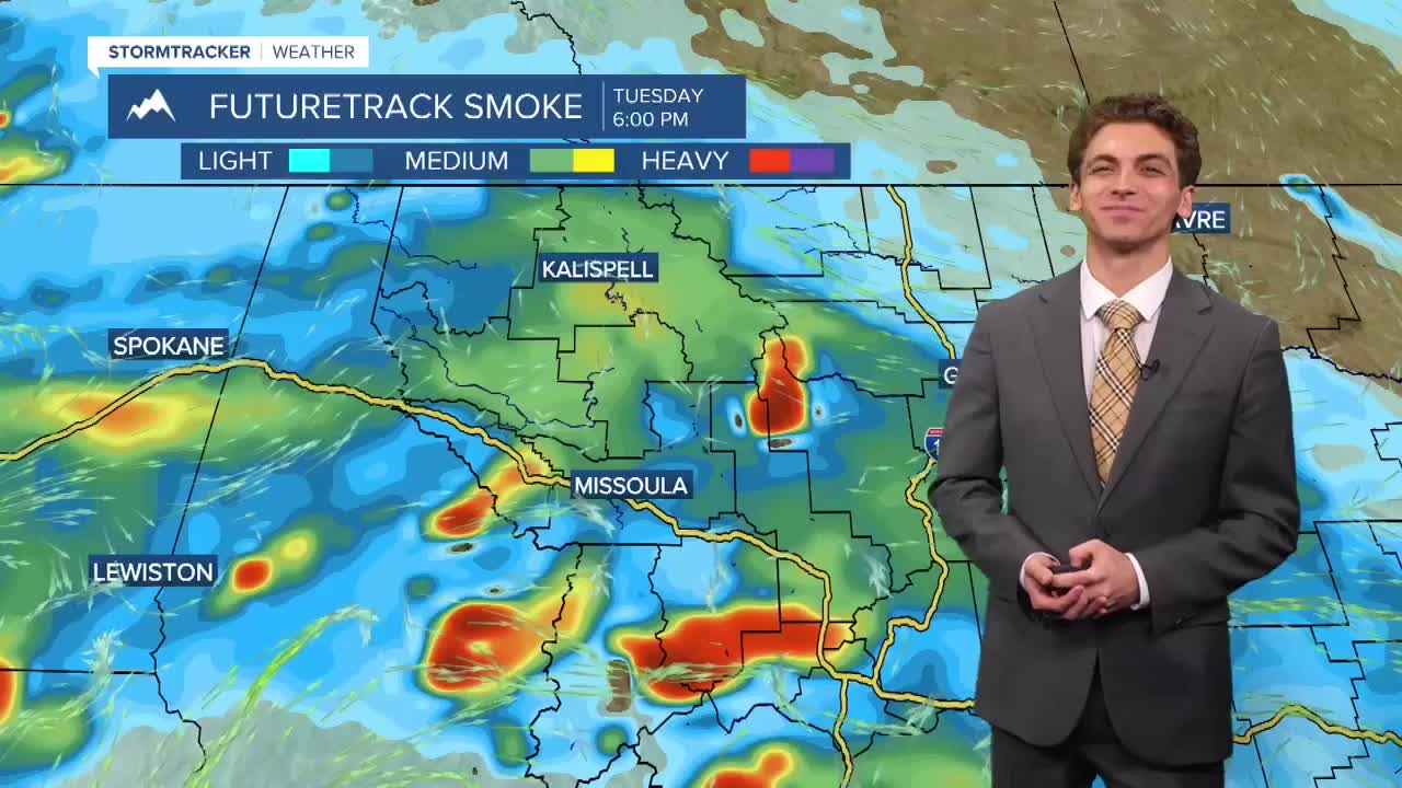
Wildfire smoke will continue to impact localized areas of western Montana from wildfires burning near the Continental Divide. Expect the air quality to be in the "moderate" category over the next few days.
Temperatures will peak in the low to mid 90s on Wednesday before a cooling trend takes over lasting through the weekend. Some highs could be as low as the upper 60s by Sunday.
The next storm systems is tracking in a more northward position for the weekend, meaning it's looking like less rain will be present across our state. However, it still will be bringing cooler than normal temperatures and breezy conditions on Saturday and Sunday.
——————————————————————————————————————————
MONTANA WEATHER ALERTS:
NONE
——————————————————————————————————————————