


MISSOULA - High pressure to our west has provided beautiful conditions for our Wednesday with above average temps. A weak Canadian disturbance, however, will bring increased cloud cover and a chance of precipitation this evening and overnight.
Showers and thunderstorms are expected to develop around 5pm near the Idaho Panhandle, potentially reaching as far south as Missoula. By late this evening, this activity will shift primarily toward northwest Montana with the greatest chances now focused near the Canadian border. A few of these evening storms could become strong, carrying the potential for gusty winds, lightning, and small hail.
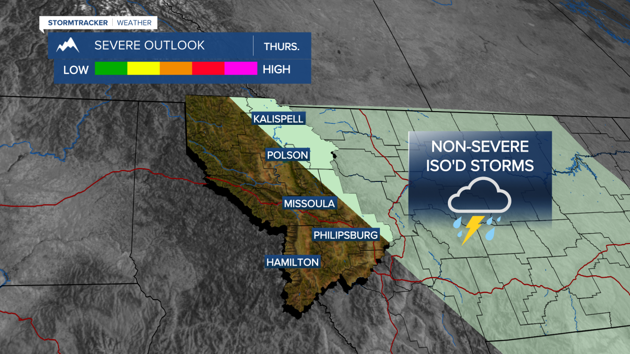
Showers and isolated thunderstorms will be likely along the Divide on Thursday with all other areas seeing more sun than clouds with highs in the mid 60s to mid 70s.
Another weak weather system will arrive late Friday night into Saturday morning. While cloud cover looks to increase, a very dry air mass in place will significantly limit the chance for measurable rainfall. Regardless of whether precip. reaches the ground, Saturday will see cooler temps in the mid 60s to low 70s (still slightly above average).
By Sunday, it looks like strong high pressure will build directly over the region. This will bring in a period of very dry conditions and a noticeable warming trend across Western Montana with highs in the mid 70s to around 80°. Expect this warm and quiet weather pattern to persist through early next week.
