
MISSOULA — Our recent stretch of hot weather will peak on Wednesday with highs topping out well above average (& in record high territory) in the 90s to low 100s.
Watch the forecast:
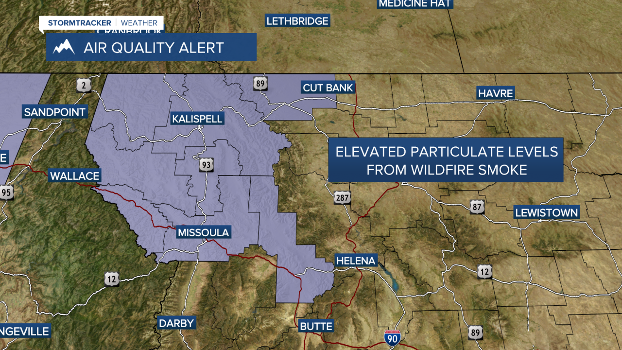
A Heat Advisory continues through midnight for the Kootenai/Cabinet & Lower Clark Fork Regions due to extreme heat and an Air Quality Alert until 9 a.m. Thursday for degrading air quality (which could actually get worse Thursday).

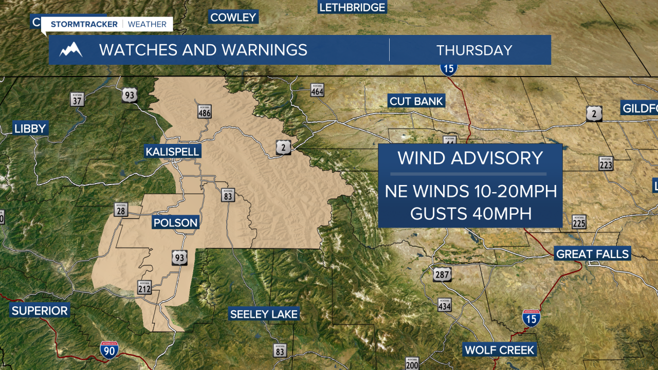
I’m happy to say, a pattern change begins Thursday into Friday as a back door cold front slides south and west out of Canada into the Treasure State.
While this won’t be a rainy cold front, it will bring three things:
- Easterly winds in the 10-20mph range (gusts to 40mph), which will likely create choppy conditions on area lakes by Thursday evening
- Heightened fire danger due to hot, dry and windy conditions
- Increased smoke/haze from wildfires burning in Alberta and Saskatchewan
Highs will begin to drop, too… looks like mid 80s Thursday and low to mid 80s Friday with ample sunshine (& haze).
Models are coming into much better agreement with this upcoming weekend's weather… our current ridge will shift eastward and out of here, allowing for a southwesterly flow to return. This will allow slightly cooler air to move in, but more importantly, the chance for showers and even a few thunderstorms. Highs will continue to drop from the mid-80s Saturday into the upper 70s to low 80s Sunday and mid to upper 70s beginning Monday.
Watch the 24/7 StormTracker Weather stream below:
