

MISSOULA — Looking at a dry and cool day Tuesday with highs in the 40s to low 50s. Cloud cover will linger across southwest Montana while west-central and northwest Montana see sunny skies. The warmest temperatures will be found in northwest Montana along the MT/ID border with highs reaching the low to mid 50s.
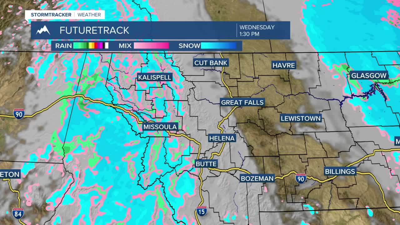
A weak cold front will cool temperatures by a few degrees Wednesday with highs reaching only the low to mid 40s. Cloudy skies along with scattered mountain snow and valley rain/snow or graupel will be possible through the day. Snow accumulations will be light and much less than an inch in most locations. Also, there is enough heat still in the ground and the sun angle is high enough so any snow that falls melts quickly.
After another cool day Thursday with highs again in the 40s. Temperatures will warm up to end the week and this will continue into the weekend. Highs will be in the low to mid 50s Friday and 50s to low 60s Saturday and Sunday.
We are watching for our next cold front move through sometime Sunday bringing another round of showers to the northern Rockies, however, at this time details are still uncertain. We'll update you on this as we move through the week.
