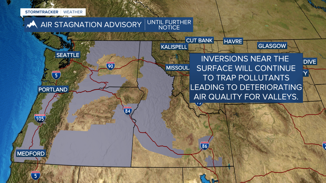
MISSOULA — A blocking ridge of high pressure will be the dominant weather feature for the next several days across most of the western U.S.
Before valley inversions develop and strengthen, we’ll see highs topping out well into the 40s to even mid 50s again on Tuesday with record highs likely for some.
Valley inversions are expected to strengthen each night, especially by Wednesday and Thursday, increasing the risk for fog and low stratus clouds.
This prolonged period of inversions will allow stagnant conditions to develop for valleys leading to areas of degrading air quality by mid-late week. This is something we’re watching that may require an Air Stagnation Advisory from NWS.
As of now, the ridge looks to break down after this upcoming weekend - likely midweek, but until then, no precipitation is expected across the region.


