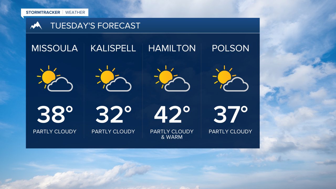


MISSOULA — Weak high pressure will keep things dry to kick off the week. Look for patchy morning fog (especially in northwest Montana), a mix of clouds and sun with highs around average in the 30s for Tuesday.
Beginning Wednesday, our moisture chances ramp up as a few weak disturbance take aim and move through periodically into Saturday.
Initially, scattered mountain snow and valley rain/snow are on tap for Wednesday’s disturbance with highs in the low 30s to low 40s. A trace to maybe an inch of snow will be possible for the colder valleys and 1”-3” at pass level.
What may become problematic is the chance for a wintry mix (including pockets of freezing rain) due to the recent cold spell… ground temps will remain frozen even if air temps rise above freezing. Be mindful of black ice (especially after sunset/before dawn).
Highs will rise into the mid 30s to mid 40s Thursday and into the upper 30s to mid 40s Friday with good air flow and our incoming moisture’s Pacific origins. Friday looks to be our best bet for precipitation with another disturbance..
Right now, the weekend looks to showcase isolated shower activity with mostly cloudy skies. Highs will remain well above average in the 40s to around 50° as we kick off February.
