MISSOULA — Clouds have been increasing throughout the day today as our next weather system is on the way.
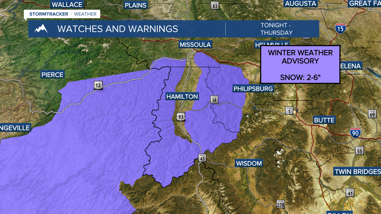
Valley rain/snow and mountain snow will move in tonight and continue through the day Thursday as a cold front moves through the region.
Mountain passes across west-central and Southwest Montana will be impacted the most by this system.
Lolo and Lost Trail passes could pick up 3"-to-5" of snow while Lookout Pass receives around 1"-to-3".
The higher elevations across Southwest Montana will also pick up a couple of inches of snow.
3"-to-5" will be possible around Georgetown Lake and Butte with 1"-to-3" around Philipsburg and Anaconda.
The lower elevations will see snow limited to grassy surfaces with just a dusting likely.
Off-and-on showers will continue Friday as a low pressure continues to impact the region. Highs Friday will remain in the mid to upper 40s.
The weekend is shaping up to be a bit drier, however, an isolated shower or two can't be ruled out at times in the afternoon. Highs will remain in the mid to upper 40s.
Models are showing a high pressure ridge building to start next week. Highs will return to the 50s Monday with 60s Tuesday.


