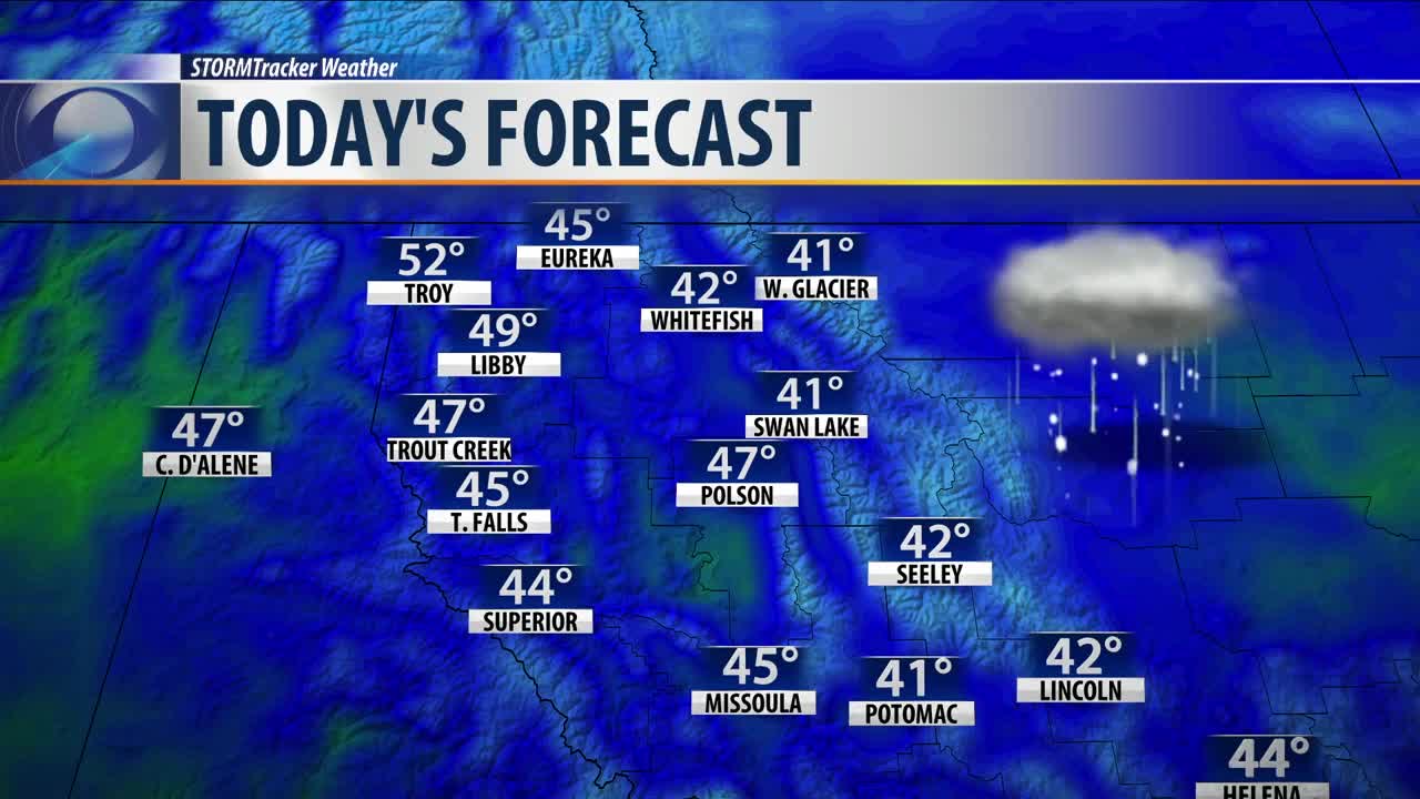

MISSOULA — A trough of cold air is firmly in place over the entire northwest. However, since we have now passed the Spring equinox, the sun is strong enough to to warm the surface of the earth everyday and create an unstable atmosphere.
This atmospheric set up leads to showers. Whenever one of these showers form, it will pull down some cold air with it. So even if temperatures are well into the 40's precipitation can still fall as snow or a rain/snow mix. This set up will be in place again Wednesday as highs warm into the low to middle 40's.
Dry conditions are expected Thursday and Friday. Temperatures will remain in the 40's both these days. Expect more sunshine Thursday and cloudy skies Friday.
Looking at the weekend, temperatures will slowly begin to warm back up to seasonal normal with highs returning to the low and middle 50's. Showers will return to the forecast Sunday and continue into next week, however, with the warmer temperatures in place precipitation looks to fall as all rain in the valleys with snow continuing in the mountains.
