


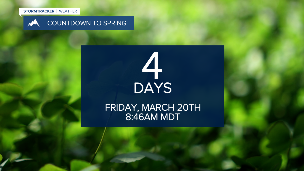
MISSOULA - Warmer temperatures are already making a comeback for the northern Rockies and will only continue to rise as we move into the next few days.... perfect timing as the first day of astronomical spring is Friday!
High pressure building into the southwestern U.S. will allow for significant and historic warmth across a lot of the west... we'll be on the far northern fringe of that ridge which will allow for clouds and occasional showers, but we'll experience the warmth associated with the high pressure.
Highs Tuesday will top out in the 50s, 50s to low 60s Wednesday and upper 50s to upper 60s Thursday and Friday. Average highs this time of year are in the upper 40s!
The best bet for moisture will remain in the higher terrain and mainly north of I-90... particularly Wednesday and Friday, but moisture will be present each day this week.
The rapid rise in temperatures will quickly melt the fresh valley snow, which may lead to urban runoff and ponding of water in low-lying areas and poorly drained streets... something to keep an eye on.

