


MISSOULA - A large Pacific trough of low pressure will continue throwing wave after wave of moisture our way in a southwesterly flow, providing intermittent showers and embedded thunderstorms for the rest of the work week.
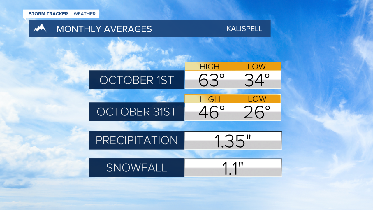
Otherwise, expect a mix of clouds and sun with highs near average in the low to mid 60s.
Watch the forecast:
Something to note: if we see clouds breaking up enough (which is totally possible), there’s a chance for areas of frost Thursday and Friday nights in the low-lying valleys of Western Montana.
The low will move into the western United States this upcoming weekend, with the main focus of precipitation across southwestern Montana.
Snow levels will start off high, but could drop to around 5,000’ Sunday into Monday as a reinforcing shot of cooler air arrives within the trough.
The highs for the valleys will drop into the 50s.

There’s a very good chance we could see a couple of quick inches of snow in the higher terrain along the Divide (especially the Butte/Blackfoot Region) and into Glacier National Park.
While many of us have already seen our first frost of the season, we could very well see our first widespread freeze Monday morning as we begin to clear out.

Watch the 24/7 StormTracker Weather stream below:
