


MISSOULA - After a breezy Tuesday, winds should relax a bit Wednesday as high pressure slides in from the west. A warming trend then begins with highs in the upper 60s to mid 70s for western Montana and ample sunshine.
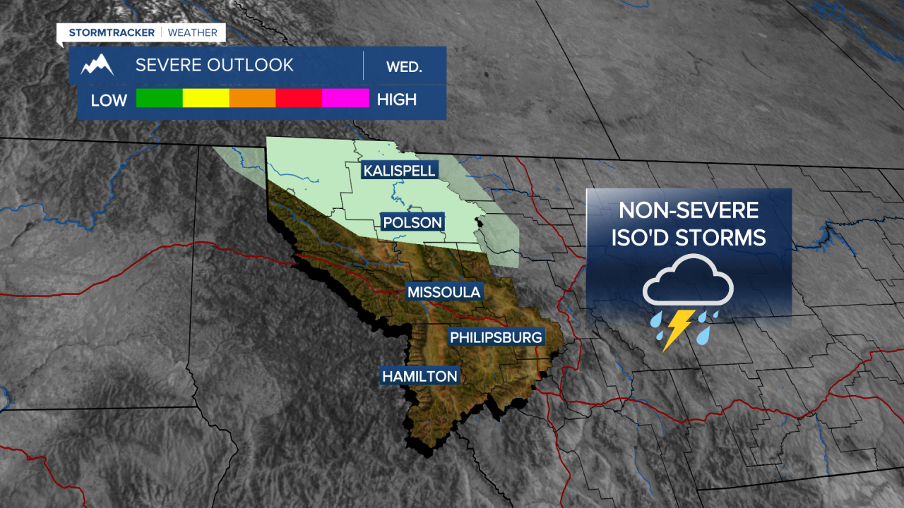
A weak disturbance will override the ridge Wednesday evening bringing a few lightly scattered showers to northwest Montana by the evening with a rumble or two of thunder not out of the question.
Showers and isolated thunderstorms will be likely along the Continental Divide on Thursday with all other areas seeing more sun than clouds with similar highs.
Friday looks partly cloudy with highs in the upper 60s to low 70s, but models are showing another weak disturbance on Saturday bringing isolated, but widespread showers with highs cooling slightly into the mid 60s.
As of now, Mother's Day is looking sunny and warm (70s)!
