MISSOULA - Warmer temperatures are already making a comeback for the northern Rockies and will only continue to rise as we move into the next few days.... perfect timing as the first day of astronomical spring is Friday!
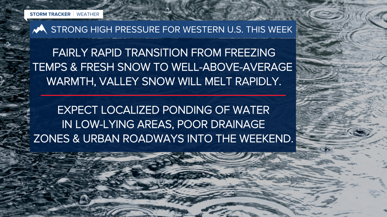
High pressure building into the southwestern U.S. will allow for significant and historic warmth across a lot of the west... we'll be on the far northern fringe of that ridge which will allow for clouds and some showers, but we'll experience the warmth associated with the high pressure.
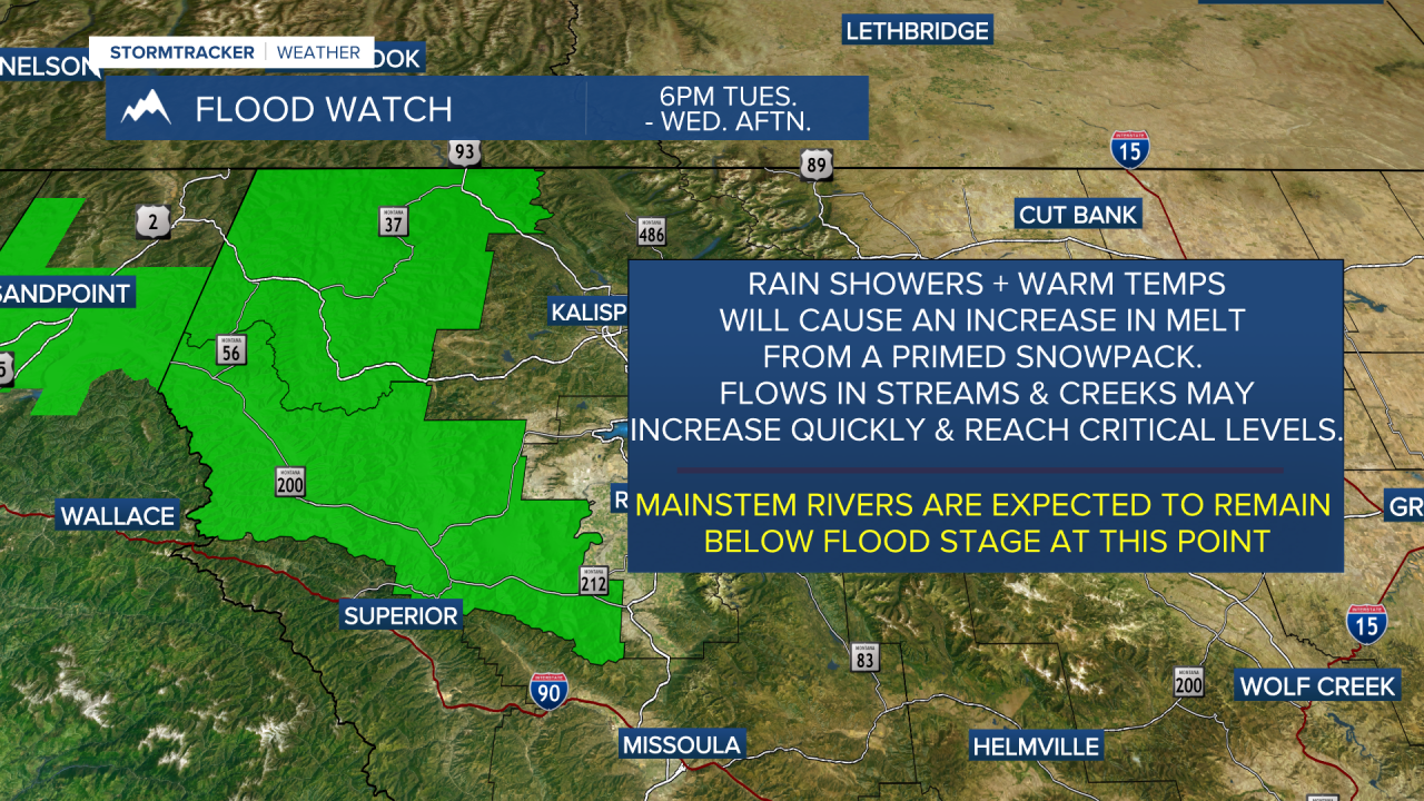
Most showers will be confined to northwest Montana. With some fresh snow and warming temps, all areas across western Montana will begin to see slushy/melty conditions leading to urban runoff and ponding of water in low-lying areas and poorly drained streets... but rain on top of that raises some minor flooding concerns which is what we have going on for northwest Montana. Some models show precipitation amounts ranging from 1.5" to 2.5" over the higher terrain of the Cabinet, Whitefish and Swan ranges through early Thursday. Conversely, valley locations will see significantly less precipitation, generally around 0.10" to 0.30".
Highs will top out in the low 50s to mid 60s Wednesday and upper 50s to upper 60s Thursday and Friday... some cresting the 70° mark, too! Average highs this time of year are in the upper 40s!