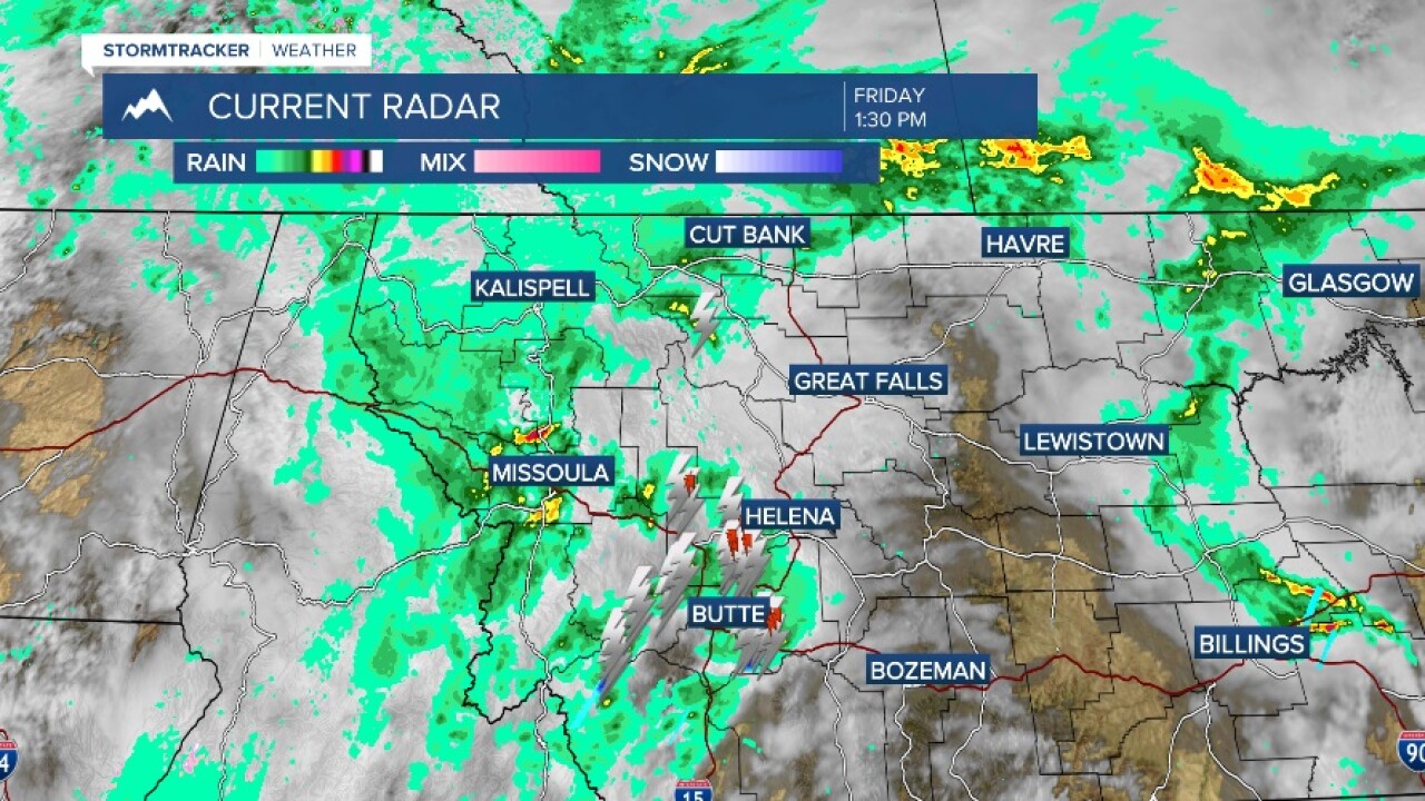


MISSOULA — It's much cooler today as a cold front is working through the Northern Rockies. The highs will be in the 50s and 60s with off and on rain through the day and into tonight. Heavy rain will be possible throughout the day as well.
The heaviest rain on Saturday will fall across Northwest Montana, where models are still showing precipitation amounts between 1"-to-4" by Sunday.
If this plays out, the result will be the potential for rock and debris slides along steep terrain in Glacier National Park and Forest Service roads in the Flathead and Kootenai National forests.
Lowland ponding of water will be possible in poor drainage areas.
A Winter Storm Warning has been issued for Glacier National Park. Snow amounts of 12"-to-24" are possible above 6,000 feet, 5"-to-12" between 5,000 and 6,000 feet, and 2"-to-4" between 4,000 feet and 5,000 feet.
A Winter Weather Advisory has also been issued for Rogers, MacDonald and Homestake, Lolo and Lost Trail passes Saturday night into Sunday morning with 2"-to-4" possible.
Precipitation moves from north to south Saturday night into Sunday, moving back into west-central and southwest Montana. Highs will again be in the 50s on Sunday.
High pressure builds back going into next week with highs back in the 80s by Wednesday.
Watch the 24/7 StormTracker Weather stream below:
