MISSOULA — Long-range forecast models show a trend towards above-average temperatures as we roll into August today.
Already, the local National Weather Service has issued a Heat Advisory for the Kootenai/Cabinet and Lower Clark Fork regions.
The advisory does not start until Friday and ends Saturday, but those two days are looking to be the hottest in the next week for everyone.
Some areas will feel the heat reach triple-digit temps, while others will hold in the high 90s.
Following Saturday, monsoon moisture and thunderstorms are possible, especially on Sunday.
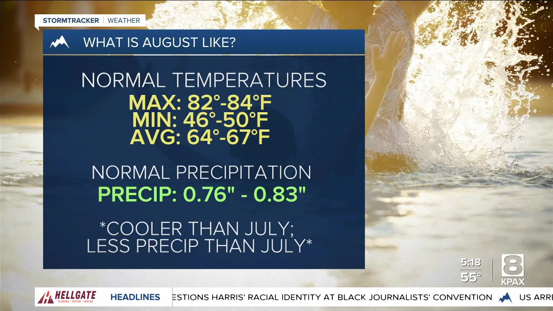
August is typically our driest month in Western Montana, so any moisture would be welcome. Also, August is generally cooler than July in the low-mid 80s as normal max temperatures.
So far, the first two weeks of the new month look to be above-average in both ways though — temperatures and precipitation.
Weekend plans through Saturday should be mostly safe from pop-up thunderstorms, but Sunday will need to be watched closely.
Outflow winds, lightning, and flash flooding are the main concerns right now. We will keep you updated as we get closer to the weekend.
Haze should hold off from returning until tomorrow, so get outside today before it's too hot!


