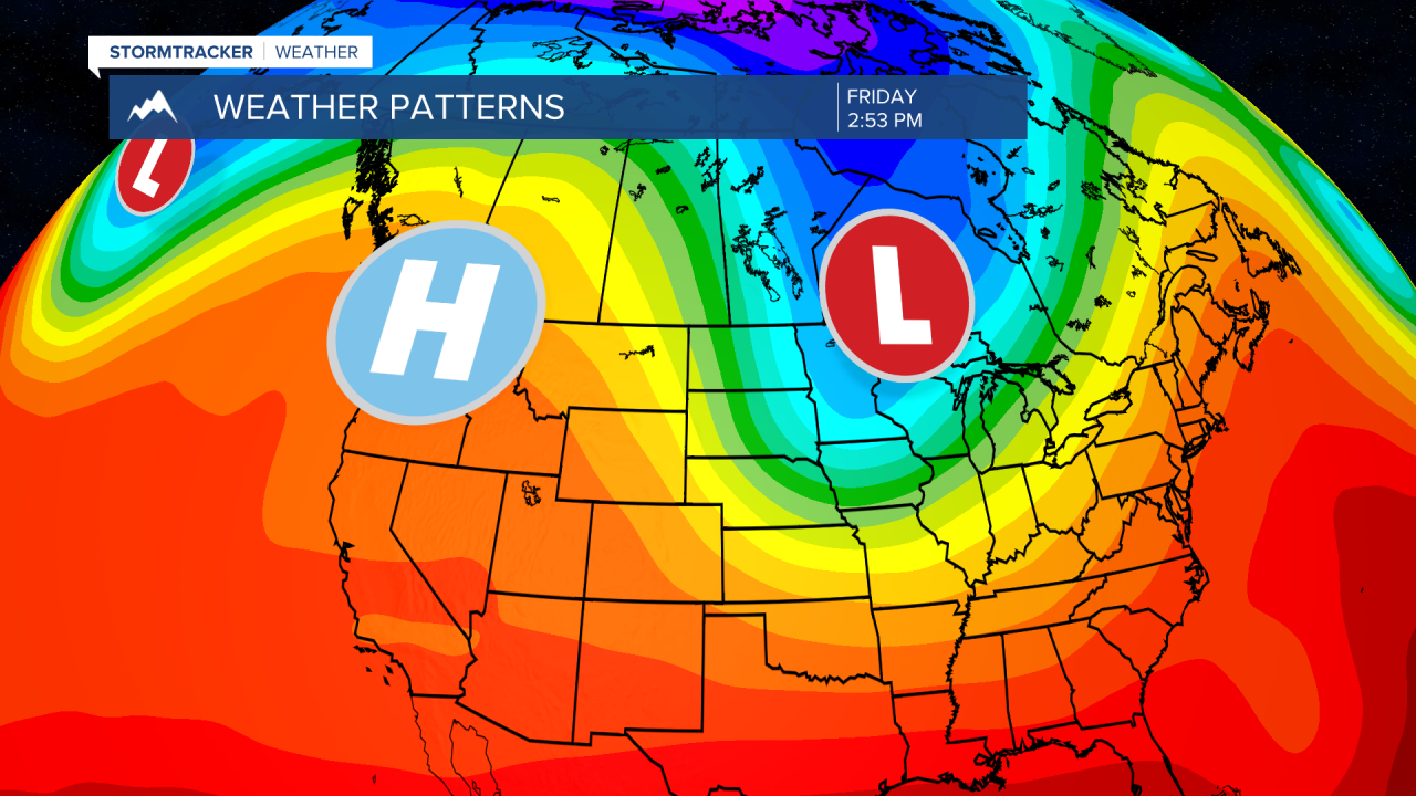
MISSOULA — Changes are underway in our current weather pattern.
After today, skies will continue to clear and allow for widespread sunshine to return and warm up temperatures.
Our consistent low pressure systems will begin to move to the east, making way for high pressure.
High pressure generally means dry weather and warmer air aloft.
Temperatures will rise a few degrees above normal for the weekend before more wet weather returns next week on Tuesday.
Because skies will clear, frost potential is higher Friday morning for lower valleys.
Basically, the additional warming and clearing makes way for cooling overnight.
Recently, temperatures have not been able to fluctuate much due to the overcast clouds.
Plan on covering plants Friday morning and enjoy some warm, dry weather for a change.


