

MISSOULA — Our current weather pattern continues today with more unsettled showers and storms.
Just like earlier in the week, we’re expecting scattered thunderstorms to pop up late this afternoon into the evening, especially in the mountains. Things will likely get going after 2 p.m. or 3 p.m., with storms developing around the Anaconda Range. These storms won’t move quickly, so there’s a chance of heavy rainfall in areas that are prone to flooding or have recent burn scars.
On Tuesday evening, some mountain spots picked up half an inch to an inch of rain in just an hour — and with even more moisture in the air today, we could see similar downpours. Storms will wind down between 10 p.m. and midnight. Also, there’s been plenty of lightning with these storms, so if you’re outside and hear thunder, it's best to head inside.
Watch the full forecast:
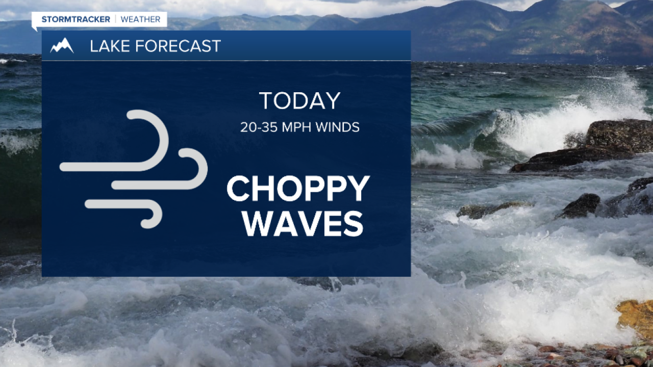
A weather pattern squeezing cool air from Canada and warm air from the Snake River Plain is keeping things active. Expect breezy east winds throughout the day, especially this evening. In fact, a Lake Wind Advisory is in effect for Flathead Lake from 6 p.m. to 11 p.m.. Wind gusts could top 40 mph, particularly between Bigfork and Woods Bay, around 8 p.m. to 10 p.m.
An upper-level disturbance will help spark more widespread storms on Thursday afternoon. Some may bring wind gusts of 30 to 40 mph at first, followed by heavier rain and possibly small hail. The best chance for significant rain will be from Lost Trail Pass up through the Mission Valley and into north-central Idaho. Some higher elevations could see over an inch of rain. Most of the activity should settle down around midnight, with showers likely reaching as far north as Polson.
Friday brings a similar setup, with the heaviest rain expected north of I-90. Still, thunderstorms could develop across much of the Northern Rockies. By the weekend, expect cooler temperatures — about 5 to 10 degrees lower for most areas.
That cooler trend sticks around, and so does the daily chance of showers and thunderstorms as we head into the start of next week.
Watch the 24/7 StormTracker Weather stream below:
